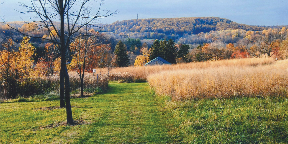
Pennsylvanians are fortunate to have a vibrant and successful model for conserving and preserving natural and cultural assets. Housed within the Pennsylvania Department of Conservation and Natural Resources (PA DCNR), the Conservation Landscape (CL) program is comprised of partners within a large, defined region collaborating toward common goals such as building and maintaining vibrant communities, protecting natural assets, promoting tourism, and supporting a healthy quality of life.
Developed in 2004, the CL Program has been the framework for place-based partnerships and actions involving sustainability, conservation, community revitalization, and recreation (see the 2019 Pennsylvania Conservation Landscapes report – Models for Successful Collaboration). The CL initiative draws strength and strategy from a few important concepts: not all landscapes should be managed the same way, and not all landscapes experience the same kinds of pressure. Key elements of CLs are the recognition of local context and conditions, and a distinct geography.
A Tale of Two Landscapes
In south central Pennsylvania, the Kittatinny Ridge Conservation Landscape (KRCL) and the South Mountain Conservation Landscape (SMCL) are adjacent yet distinct regions with varying priorities. The Kittatinny Ridge stretches along the southeastern border of the Appalachian Mountains, encompassing 12 counties from the Maryland border to the Delaware Water Gap. It has been identified as the most climate resilient landscape in Pennsylvania, a veritable biodiversity highway allowing wildlife to migrate safely as temperatures and rainfall patterns change.
The South Mountain CL connects Adams, Cumberland, Franklin and York counties, and includes the Michaux State Forest and three state parks – a unique convergence of natural, cultural, agricultural, and recreational resources.
Between them is approximately 15-miles of the Great Valley (aka the Lehigh Valley, the Susquehanna Valley, and the Cumberland Valley, depending on where you are). The Valley is home to farms, towns & cities, and critical transportation networks stretching from Georgia to New York.
The KRCL and SMCL have vastly different geologic histories, features, and geography, and yet both are primarily forested, providing critical habitat for birds and other wildlife that require wetlands, upland forests, rocky outcrops, stream and riparian systems, and/or a large, unfragmented home range.
Safe Passage for Wildlife
With an eye on climate resilience and wildlife migration, it would seem like developing safe passage between the Kittatinny Ridge and South Mountain would be a great idea. And it is! Wildlife traveling between these two forested habitats have a perilous journey crossing major highway systems, farmland, warehouse and suburban development, and urban centers.
To dive a little deeper: the South Mountain region is the northern terminus of the Blue Ridge mountains and many plants, animals, and insects will need to migrate northward to the Kittatinny Ridge and the Highlands habitats due to the changing climate. Species will need long, large areas of unbroken habitat to travel safely across the Valley, which is fragmented by busy highways such as Interstate 81, Route 15, and the Pennsylvania Turnpike, as well as many two-lane roads. To maintain our game species and protect wildlife diversity, connecting the forested landscapes with a passageway that is healthy and safe for species to live and travel is ideal. These corridors, although designed primarily for wildlife, are good for people as well. They reduce injuries, costs, and traffic congestion due to wildlife collisions, and help minimize negative human and wildlife interactions. In 2023, State Farm Insurance Company ranked Pennsylvania #1 in the nation for the number of auto insurance claims filed for animal-vehicle collisions.
A top project of their recent State of the Region project, the South Mountain Partnership (SMP) is exploring the planning and establishment of this very idea – wildlife corridors that will connect South Mountain with the Kittatinny Ridge to the north and west and with the Highlands to the east. Learn more about this project via SMP’s story map.
Although there is not yet a proposed location for a corridor, SMP has been working with local county planning agencies and land conservation groups to gather information and Geographic Information Systems (GIS) data to reveal what greenways, trails, and other conservation priorities exist among local and potential statewide, federal, and non-profit partners who are also interested in supporting the project.
Wildlife Corridors
Wildlife corridors are vastly diverse – some are narrow, some are wide, some include space for people (co-location), and some are treated as wilderness. Local partners will provide important input as to the right fit for this region.
This summer, an SMP intern began using GIS to map local, state, and federal data to find commonalities, and this work will continue over the next few months. Additionally, the SMP staff will be connecting with state wildlife officers to identify species of concern and evaluate the relevant needs of each species. Next, funding will be needed to hire a consultant to create a planning document.
The world-renowned Appalachian Trail, used by hundreds if not thousands of hikers each year (and sometimes their dogs), stretches160 miles along the Kittatinny Ridge, crosses the Cumberland Valley north of Carlisle, and meanders another 50 or so miles through South Mountain. This corridor, effectively connecting the two conservation landscapes, is very likely also used by wildlife. However, a passageway across the Valley designed specifically to provide safe passage for wildlife and to protect motorists offers an opportunity rich with innovation. It makes a clear statement to residents and visitors that Pennsylvania cares about its wildlife and people. Successful completion of this project will be an important step toward climate resilience and conservation of biodiversity in the region.
To stay informed about the project, sign up for the “Around South Mountain” e-newsletter here Subscribers receive updates on the State of the Region project in each edition and at every regional meeting. SMP meetings are open to the public and invitations are sent via the newsletter.